BC HighwayCams - Highway 99 (Peace Arch Border Crossing)
Northern, Southern Interior and Vancouver Island images will update every 15 to 30 minutes; Lower Mainland images will update about every two to 15 minutes.
Please note all BC HwyCams use Pacific Time Zone (PT).
Attention motorists:
Spring weather can make highway conditions in B.C. unpredictable, particularly through high mountain passes. Please be prepared and be aware that winter tires and chains may still be needed.
 |
|
|||||||
|
||||||||
Weather Forecast (from Environment Canada) |
||||||||
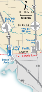
Hwy 99 at 8 Ave - N Hwy 99 at 8th Avenue in White Rock, looking north. | Hwy 99 at 8 Ave - W Hwy 99 at 8th Avenue in White Rock, looking west at southbound ramp from 8th Ave. | Hwy 99 at 8 Ave - S Hwy 99 at 8th Avenue in White Rock, looking south. | Beach Road - N Hwy 99 at Canada/USA border, looking north. | |||||
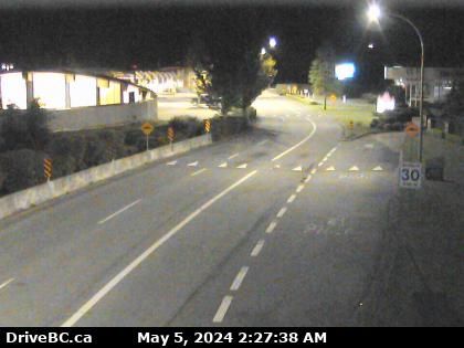
Beach Road - S Hwy 99 near Canada/USA border, looking south. | Peace Arch Hwy 99 at Peace Arch border crossing, looking north. |
|||||||